Google Maps and Waze enhance safety and information on the road with new features
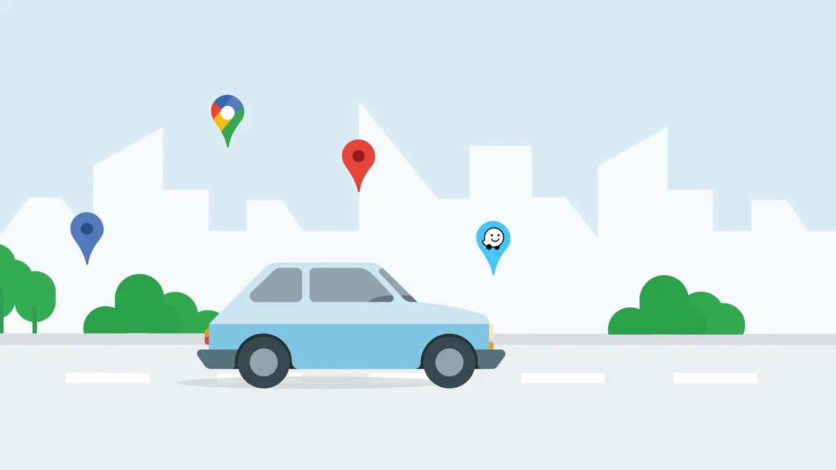
Google Maps and Waze are introducing new features to improve safety and provide users with more information while on the road.
One of the updates focuses on enhancing the incident reporting system in Google Maps. Users can now report incidents such as lane closures, construction, objects on the road, and police presence, making it easier to share helpful information with the community. These reports can be verified by other drivers, creating a more accurate picture of the road conditions. This feature is available worldwide on Android and iOS devices, cars with Google built-in, Android Auto, and Apple CarPlay.
Google Maps has also rolled out a new destination guidance feature designed to simplify navigation to unfamiliar places. This feature will automatically highlight buildings and their entrances as drivers approach, while also showing nearby parking options. The feature aims to make it easier to navigate to new places, especially during nighttime or in low-light conditions. It is currently available globally on Android and iOS devices, cars with Google built-in, Android Auto, and Apple CarPlay.
Waze, Google's community-based navigation app, has also introduced new camera alerts to help drivers be aware of speed limits and comply with local laws. The app will now display alerts for various types of cameras, including those monitoring speed, red lights, and carpool lanes. This information is sourced from the Waze community and publicly available data from local authorities.
Another new feature in Waze is the traffic events notification. If you're traveling in an area impacted by an event like a parade, concert, or sporting event, you'll receive a notification about how the event is affecting traffic. This feature also provides details such as the cause of the congestion, if there are any road closures, and real-time traffic conditions.
Finally, Waze users on Android devices can now get turn-by-turn directions, traffic updates, and hazard alerts while their phones are locked. This feature will be launched globally on Android this month and on iOS in the fall.
One of the updates focuses on enhancing the incident reporting system in Google Maps. Users can now report incidents such as lane closures, construction, objects on the road, and police presence, making it easier to share helpful information with the community. These reports can be verified by other drivers, creating a more accurate picture of the road conditions. This feature is available worldwide on Android and iOS devices, cars with Google built-in, Android Auto, and Apple CarPlay.
Incident reporting in Google Maps | Image credit — Google
Destination guidance in Google Maps | Image credit — Google
Waze camera alerts | Image credit — Google
Traffic event notification in Waze | Image credit — Google
These new features are designed to make driving safer and more convenient for users of both Google Maps and Waze. By providing more information and alerts, the apps aim to help drivers make informed decisions and avoid potential hazards. As a user of both apps, as I switch back and forth depending on the situation, I'm excited to see these additional features roll out.
Follow us on Google News






Things that are NOT allowed:
To help keep our community safe and free from spam, we apply temporary limits to newly created accounts: