Google Maps shows 3D buildings while navigating during new test
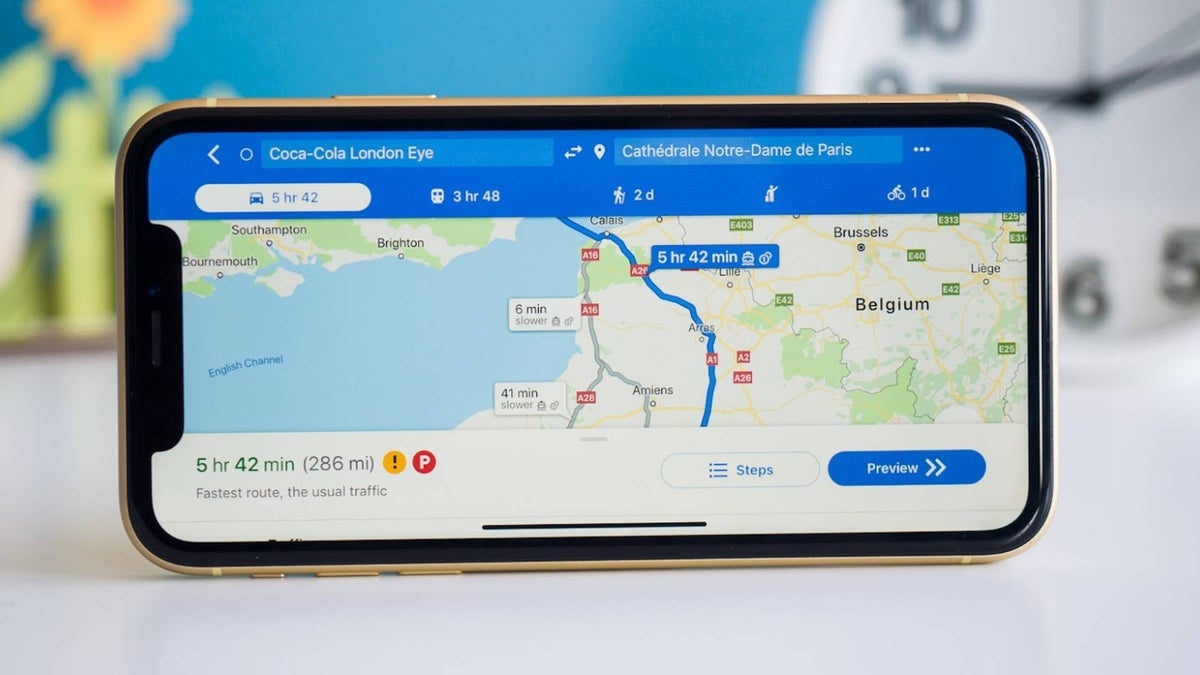
While you have had the ability to see buildings in 3D on Google Maps for ages, Google will now allow you to see 3D buildings while navigating from point "A" to point "B" using the mobile app on iOS and Android and also when using Android Auto. But this doesn't work automatically. To turn on 3D buildings while navigating, hit the layer button before you start navigating. Under Map details, press the 3D button. Start navigating and zoom in a little bit for the buildings to appear in 3D.
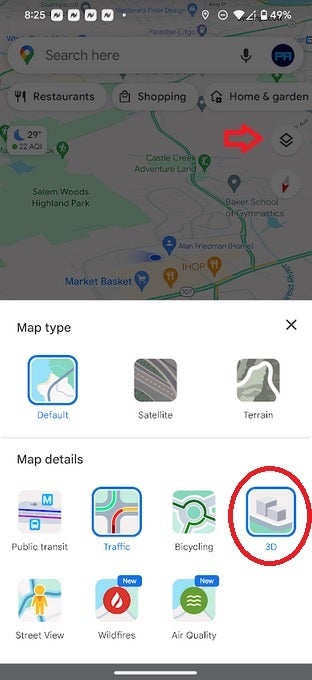
Before navigating, press the Layer icon and tap on 3D to see 3D buildings
The feature has surfaced on my Pixel 6 Pro running the latest Android 14 QPR2 beta. According to one Reddit user, if the 3D view of a building gets in the way of the route, the building will become nearly transparent so you'll be able to see through it. The same Redditor who posted the image of what he calls the "semi-opaque" 3D buildings was using Google Maps on Android Auto.
With the user name "seemebreakthis" on Reddit, this BMW i4 450 owner (who lives in Hong Kong) wrote, "I started to notice this nice 3D view on my AA [Android Auto] Google Maps for maybe a week or so. I don't recall making any changes in Google Map or AA settings during this time, so I believe it just activated on its own. Looks really nice to me. The buildings are semi-opaque so they don't really get in the way even for a city like the one I live in with an insane number of tall buildings everywhere."
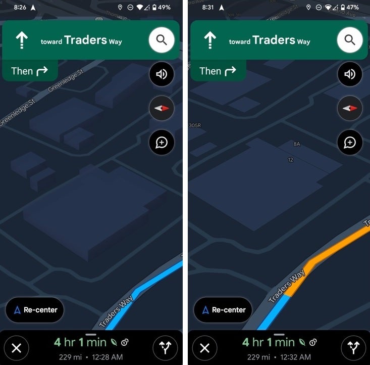
3D building enabled on left, disabled on right
Per 9to5Google, it should be pointed out that not all iOS and Android phones have received this feature yet and even rarer still are Android Auto users who have seen the 3D buildings while navigating. And that means that Google could be testing this using one of its infamous A/B tests. Let us know in the comments section if you have been seeing the 3D buildings while navigating. Remember that it is not on by default and that you must set it up prior to starting your journey.
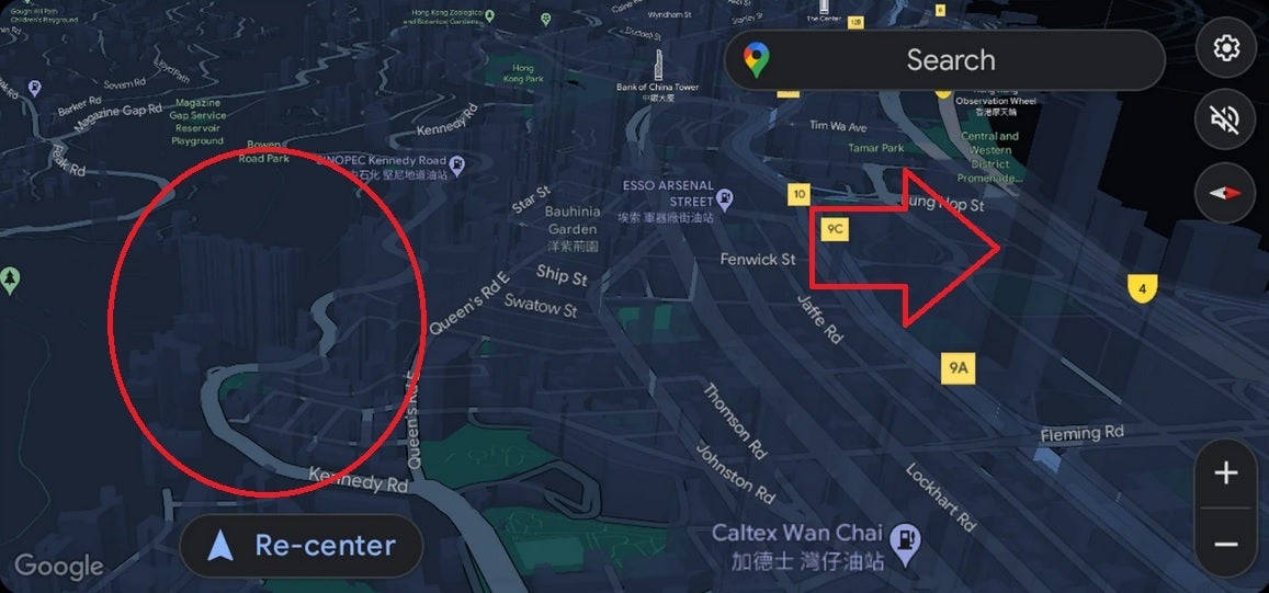
Circle and arrow show semi-opaque 3D buildings on Google Maps while navigating in Hong Kong
So what is the advantage of seeing buildings in 3D while you are driving? Since these are done to scale, it acts as a landmark for drivers who are traveling in an area that is unfamiliar to them.
Follow us on Google News




Things that are NOT allowed:
To help keep our community safe and free from spam, we apply temporary limits to newly created accounts: