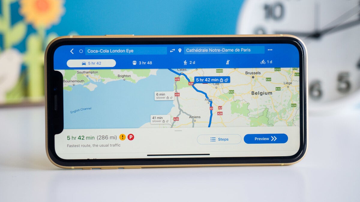
The most exciting Google Maps experience has started to roll out

Last month we told you about some new features that are coming to Google Maps. One of these features is called Immersive view which combines Street View with aerial images and adds a layer showing weather data and traffic information to deliver "a rich, digital model of the world." Users can use the aerial images to soar over a destination to see where the entrances are and a time slider shows you what the area looks like and how crowded it is at certain times of the day.
You can move from the aerial view to street level to check out restaurants in the area and, as Google said, "even take a look inside (the eateries) to quickly understand the vibe of a spot before you book your reservation." While expected to be available in cities such as Los Angeles, New York, San Francisco, and Tokyo, one Reddit user found that the feature has rolled out in London and Berlin. To see it in action, click on this link.
To use Immersive view, after typing in the location that you want to go to, look at the photo gallery near the bottom of the display. The first photo will be labeled "Immersive View" if it is available for that location. Tap on it and you will have a Google Maps experience second to none.
This appears to be a slow, slow rollout on Google's part as it originally introduced Immersive vView last May at Google I/O.
There is one major caveat to using Immersive view according to the Redditor who used it. He discovered that using Immersive view for 30 minutes consumed 2GB of data which is something for those with a monthly data allowance to be concerned about.
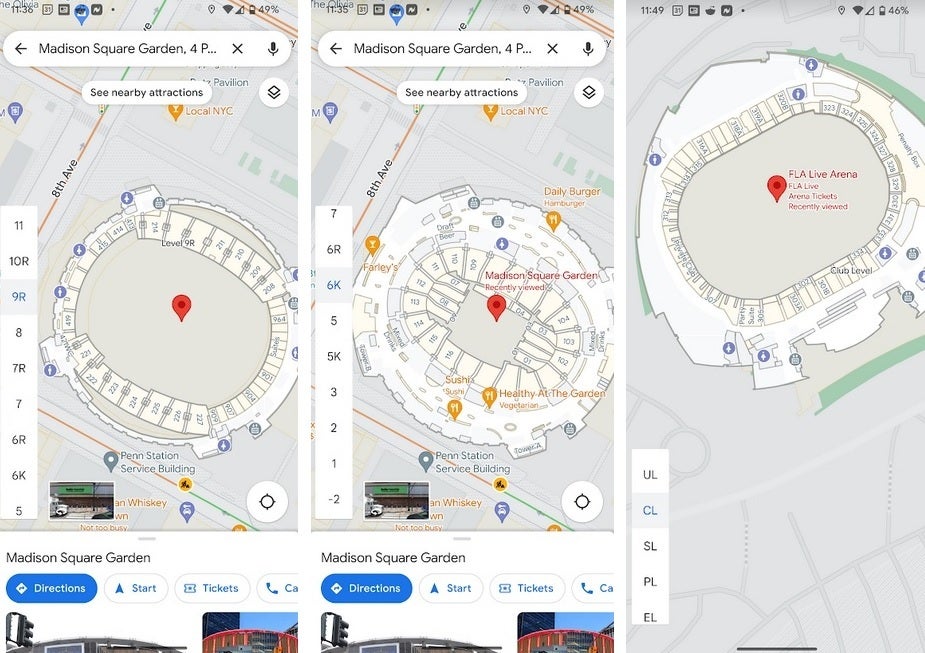
Another interesting feature that we stumbled on showed up when we used Google Maps to take a look at the world's most famous arena, Madison Square Garden in New York City. Yeah, the Knicks are having a season that has fans excited and the Rangers are playing good hockey. But what we found on Google Maps was a slider on the left side of the screen that showed the different configurations inside the arena for basketball and hockey. You can see where the bathrooms are located and where different seating sections are located by levels.

Google Maps showing different seating levels for MSG (Rangers, Knicks) and FLA Live Arena
This is also available for other arenas like the Florida Panthers' FLA Live Arena. Not all arenas show this information, but several do. So if you want to know where your seats will be for an upcoming event, check out the venue on Google Maps.
Follow us on Google News


Things that are NOT allowed:
To help keep our community safe and free from spam, we apply temporary limits to newly created accounts: